Biking in Northwest Wisconsin
Bicycle enthusiasts have a wide selection of riding options in Northwest Wisconsin including paved and unpaved trails where you can enjoy a leisurely spin or a cardio pumping work out!
Bicyclists also have plenty of trail difficulty levels to choose. Bring the kids along for a relaxed paved ride or push yourself to the next level with a more difficult longer ride. Whichever you choose, biking is a great way to enjoy nature and stay healthy!
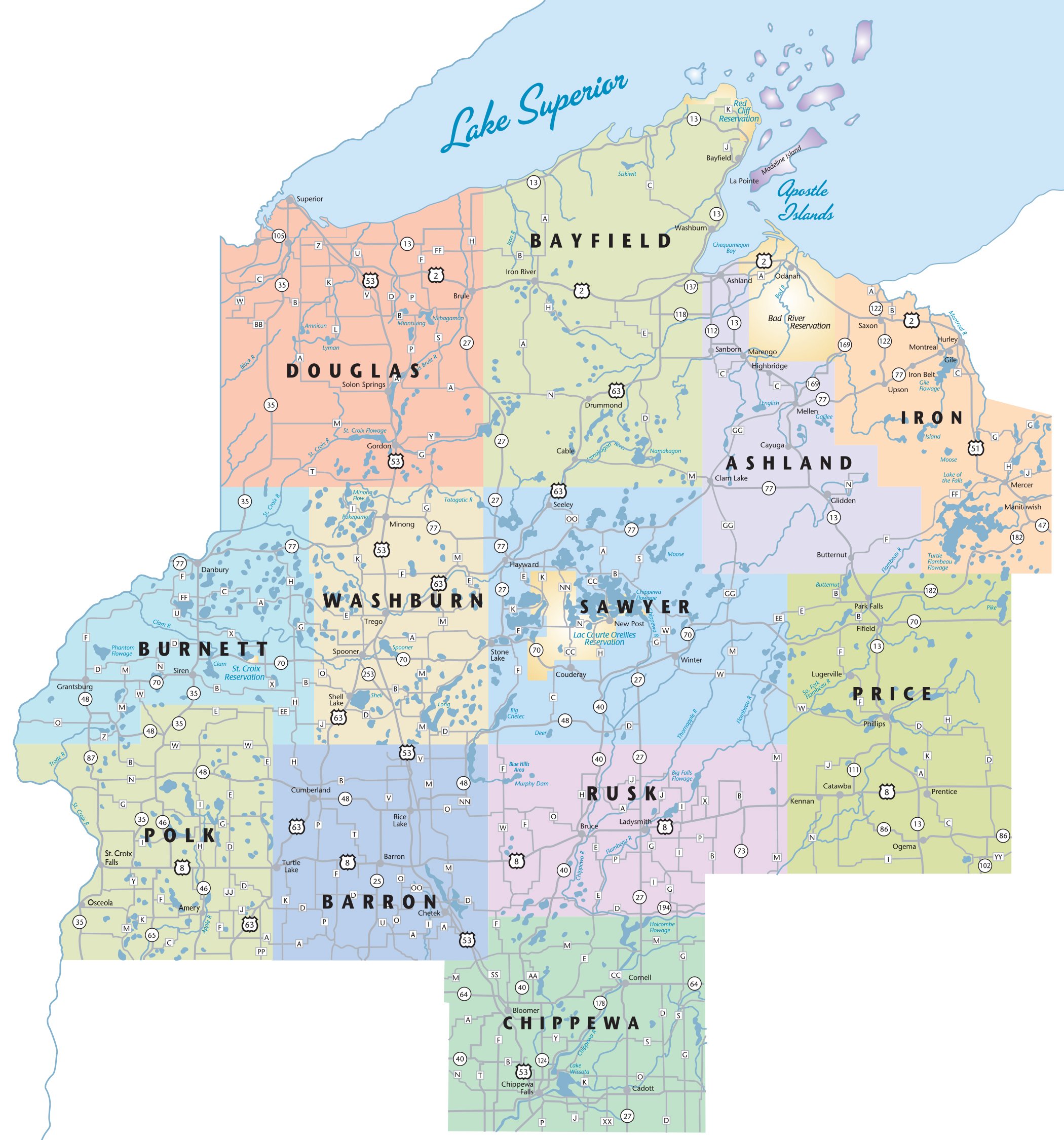
Locator Map
Please hover over icon on the map to see more details.
Around the Horn Loop
Bayfield County
Length: 49.8 miles
Difficulty: Moderate to Difficult
Fee/Pass Required: Unknown
Very scenic with spectacular views of Lake Superior. Services available in towns along the route. Roads good to excellent; paved shoulder along most of route. Traffic moderate.
Marker 2Barron County Roads
Barron County
Length: Varies. 600 miles
Trail type: Paved/ Unpaved Roads
Fee/ Pass Required: No
600 miles of mapped routes on mainly low traffic scenic roads throughout Barron and surrounding Counties.
Marker 3Big Falls County Park & Campground Tour
Price County
Length: 20 miles
Difficulty: Easy
Trail Type: Paved Road
Fee/Pass Required: No Camping Fee is required from Kennan go S on County N to Big Falls Road. A park/campground near the Jump River. Hike to view the river cascade over granite boulders.
Marker 4Burnett County Roads
Burnett County
Trail Difficulty: Varies
Trail Type: Paved/Unpaved Roads
Fee/Pass Required: No
Length: Varies
Push yourself up hills on County Rd B for a moderate ride. Stop and relax at Clover Meadow Winery on Thompson Rd. Restaurants, lakes, rivers, forests, vistas.
Marker 4Burnett County Roads
Burnett County
Trail Difficulty: Varies
Trail Type: Paved/Unpaved Roads
Fee/Pass Required: No
Length: Varies
Push yourself up hills on County Rd B for a moderate ride. Stop and relax at Clover Meadow Winery on Thompson Rd. Restaurants, lakes, rivers, forests, vistas.
Marker 5City of Hayward Bike Trail
Sawyer County
Length: one way 6.6 miles
Trail Difficulty: Easy
Fee/Pass Required: No
Paved path is flat to slightly sloped, is separated from traffic and has safety signals at road crossings. Parking at Hayward Wesleyan Church, Walmart, Hall of Fame, Hayward H.S. and LCO Casino.
Marker 6Drummond-Iron River Loop
Bayfield County
Length: 47.6 miles
Trail Difficulty: Moderate to difficult
Great variety of scenery – woods, vistas, lakes, hills & straightaways. Food and services in Iron River & Drummond; food in Delta. Roads good to excellent; traffic low to moderate.
Marker 7Duncan Creek Trail
Chippewa County
Length: 5 miles
Trail Difficulty: Easy
Trail Type: Paved.
Fee/Pass Required: No
Paved loop through Chippewa Falls ideal for biking and in-line skating. This trail connects to the Old Abe State Trail northeast of County Highway I. Portions of this trail are shared with motor vehicle traffic.
Marker 8Gandy Dancer Trail
Burnett County & Polk County
Length: 98 Miles (21 miles Burnett County, 28 miles Polk County)
Trail Difficulty: Easy
Trail Type: Crushed Limestone/Dirt
Fee/Pass Required: Yes
In Burnett Co. former railroad bed. Bridge trestles, scenic vistas, lakes, rivers, forests, wildlife. Restaurants, lodging, retail, and services available. Starts at the Polk County Information Center, 98 miles along old railroad grade between St. Croix Falls and Superior. 47 miles from St. Croix Falls to Danbury is surfaced with crushed limestone and is a state recreational trail.
Marker 9Highpoint/Rustic Road #62 Tour
Price County
Length: 20 miles
Trail Difficulty: Easy/Moderate
Trail Type: Paved Road
Fee/Pass Required: No
From Ogema take Highway 86 east over rolling hills, turn south on County C to Rustic Road 62 leading to Timm’s Hill County Park, home of Wisconsin’s highest geographical point.
Marker 10Lake Owen Loop
Bayfield County
Length: 22.9 miles
Difficulty: Moderate
Beautiful winding route through the Chequamegon-Nicolet National Forest near Lake Owen. Food and services in Drummond. Roads good to excellent, traffic low, rolling hills and straightaways.
Marker 11Mercer Bike Trails
Bayfield County
Length: 7.2 miles
Trail Type: Paved.
Fee/Required: No
Marker 12Millenium Trail
Douglas County
Length: 1.6 miles out and back
Trail difficulty: Easy
Type: Out and back trail
Fee/Pass Required: No.
10 foot wide paved trail that meanders through the Superior Municipal Forest.
Marker 13Old Abe State Trail
Chippewa County
Length: 19.5 miles
Trail Difficulty: Easy
Trail Type: Paved.
Fee/Pass Required: Yes.
New connection through Chippewa Falls, Lake Hallie to Chippewa River State Trail. This old railroad grade has been developed into a trail for bicyclists, snowmobilers, hikers, horseback riders and in-line skaters.
Marker 14Osaugie Trail
Douglas County
Length: 5.2 miles
Trail Difficulty: Easy
Trail Type: Out and back Trail
Fee/Pass Required: No
Asphalt paved trail along Superior Bay towards the Intersection of Hwy 2/53 to Moccasin Mike Road.
Marker 15Riverview Reserve
Chippewa County
Length: 2.5 miles
Trail Difficulty: Easy
Trail Type: Paved/Unpaved
Fee/Pass Required: No
Paved and unpaved trails criss cross through the Reserve and provide great viewing opportunities of the Xcel Energy Dam. This trail connects to Duncan Creek Parkway Trail and the Old Abe State Trail.
Marker 16Rusk County Roads
Rusk County
Length: Varies
Fee/Pass Required: No
Trail Type: paved roads
A variety of loops or out and back routes ranging from a couple miles to 20 miles. Including the popular Dam and PIG routes.
Marker 16Rusk County Roads
Rusk County
Length: Varies
Fee/Pass Required: No
Trail Type: paved roads
A variety of loops or out and back routes ranging from a couple miles to 20 miles. Including the popular Dam and PIG routes.
Marker 17St. Croix Falls Trails
Polk County
City limits Length: 6-mile loop
Wooly Mountain Trail: Length: 6.8 miles
City of Trails: Biking and hiking trails within scenic, hilly city limits. Wooly Mountain Trail: Length: 6.8 miles. A variety of riding and landscapes to experience. The trails are fast, flowy and tight, twisty single track using rocks left behind by the last glacier that formed the beautiful St. Croix River Valley.
Marker 18Sawyer County Roads
Sawyer County
Length: Varies
Trail Difficulty: Varies
Trail Type: Paved/Unpaved
Fee/Pass required: No
The county roads of Sawyer County offer road- bicycle enthusiasts a scenic tour of the Hayward Lakes Area.
Marker 19Stower Seven Lakes Trail
Polk County
Length: 14 miles
Fee/Pass Required: Yes
Built on a former railroad corridor, the trail begins in Amery and travels through the communities of Deronda, Wanderoos and Nye, ending about one mile from Dresser at 90th Avenue. The trail passes through maple and oak forests, wetlands, prairies and farmlands and past seven picturesque lakes.
Marker 20The Ashland Waterfront Trail
Ashland County
Length: 10 mile loop
Parking at all waterfront beaches & parks. Paved walking, running, and biking trail, along Ashland's lakefront from east to west and through the city via the underpass of Highway 2 that joins the trail with the historic downtown area.
Marker 21Washburn County Roads
Washburn County
Length: Varies
Trail Difficulty: Varies
Trail Type: Paved/Unpaved Roads
Fee/Pass Required: No.
The county roads of Washburn County offer road- bicycle enthusiasts a scenic tour of the area.
Marker 22Wisconsin Concrete Park Tour
Price County
Length: 27 miles
Trail Difficulty: Easy
Trail Type: Paved Road
Fee/Pass Required: No
Loop route along lightly-traveled, paved roads through scenic forest and panoramic farmland in central Price County. Begins at the Wisconsin Concrete Park, an outdoor sculpture museum.
Marker 23Big Island Trail
Iron County
Length: 6.5 miles
Fee/Pass Required: No
Explore Big Island on the Turtle Flowage. This trail has rolling terrain and is intermediate in difficulty through wooded areas. It is maintained annually for Mountain Biking.
Marker 24Blue Hills Trails
Rusk County
Length: 5 miles
Trail Difficulty: Moderate difficulty
Trail Type: Wooded, grass, untracked
Fee/Pass Required: No
The west side of the Blue Hills Trail system provides suitable terrain for off-road biking. About 5 miles total on this side of the system.
Marker 25Burnett County Trails
Burnett County
Length: Varies
Any non-motorized trails including scenic county forest land, enchanting woods trails, logging trails, fire lanes, etc.
Marker 26Copper Falls Mountain Bike Trails
Ashland County
Trail Difficulty: Intermediate/Advanced
Trail Type: Grass
Fee/Pass Required: Yes
Copper Falls has two one-way mountain bike trails.
Marker 27Deadhorse Trail
Iron County
Length: 4.6 miles
Trail Difficulty: Intermediate
Fee/Pass Required: No
This is located in a Ruffed Grouse Management Area with interpretive signs on management practices. Maintained for mountain biking.
Marker 28CAMBA Trails - Drummond
Bayfield County
Trail Difficulty: Easy
2 trailheads accessing 8 different trails ranging in length from 1.9 miles to 18.2 miles. Forest, wildflowers, lakes and wildlife. Some gravel, some paved, some two-track.
Marker 29Gravel Pit Road Trailhead
Sawyer County
Length: 9 miles one-way.
Trail Difficulty: Intermediate
Trail Type: Single Track
Fee/Pass Required: Yes
100% single-track, moderately technical through glaciated terrain for intermediate riders. A thirty foot wide grass trail with a worn-in single track. Use other routes when wet.
Marker 30Hatchery Creek Trailhead
Sawyer County
Length: 8.9 miles
Trail Difficulty: Intermediate
Trail Type: Single Track
Fee/Pass Required: Yes.
Forest lined dirt road that parallels the Birkie Trail. Access to all Hayward Cluster trails. Some sections hard and rocky – a fast and fun ride! Good early-season choice when other trails are wet.
Marker 31Hickory Ridge Recreation Area
Chippewa County
Length: 11 miles
Trail Difficulty: Intermediate/Expert
Trail Type: Single-track
Fee/Pass Required: No
This off-road mountain biking trail is 11 miles in length and winds through the quiet and scenic oak and aspen forest and consists of 3 challenging loops and 4 trails.
Marker 32Holy Cross Trail
Price County
Length: 6 miles/ 9.6 km
Trail Difficulty: Easy/Moderate
Trail Type: Twin Track or grass surface
Fee/Pass Required: No
This well-marked, twin-track, forested trail has a grass surface and offers moderately hilly and rolling terrain through a variety of timber types.
Marker 33Mont Du Lac
Douglas County
Length: 5+ miles
Trail Difficulty: Intermediate to advanced
Trail Type: Single track loops
Fee/Pass Required: Yes
Various single-track mountain bike courses consisting of leg burning climbs and screaming descents. Enjoy gorgeous views of Jay Cook State Park and St. Louis River Valley.
Marker 34Mosquito Brook Trailhead
Sawyer County
Length: 12.7 miles
Trail Difficulty: Intermediate
Trail Type: Double Track
Fee/Pass Required: Yes
The longest section of narrow, tree-covered double track in southern CAMBA land, fast riding on Phipps fire lane and the Birkie Trail.
Marker 35CAMBA Trails – Mt. Ashwabay
Bayfield County
Length: 7 miles
Trail Difficulty: Moderate to Advanced (hills, tight turns)
Approximately 7 miles of newly constructed single-track on Mt. Ashwabay.
Marker 35Mt. Ashwabay Recreation Area
Bayfield County
Length: 4.5 miles
Trail Difficulty: Moderate (Intermediate)
Fee: Yes
Groomed: Yes
Marker 36CAMBA Trails – Namakagon
Bayfield County
Length: Varies from 2.4 to 15 miles
Trail Difficulty: Moderate to very difficult
Trail Type: Easy two-track to hilly single track
Fee/Pass Required: No (parking fees at some trailheads)
Incredible riding accesses the Rock Lake Non-motorized Area. Extensive single track and IMBA Epic route.
Marker 37Phillips School Forest Trail
Price County
Length: 3.5 miles/5.6 km
Trail Difficulty: Easy/Difficult
Trail Type: Single track; loop
Fee/Pass Required: No
A scenic trail winding through a diverse forest and open meadow consisting of 5 loops ranging from gently rolling to steep hills offering options for every skill level.
Marker 38Pipestone Quarry
Barron County
Length: 5 miles
Trail Type: Single-track
Fee/Pass Required: No
Pipestone Quarry is a new trail system being developed in the beautiful Blue Hills of Wisconsin. Existing trails include over 5 miles of single track built from old logging roads wandering up and down the beautiful rocky hills.
Marker 39Pokegama Trail
Douglas County
Length: 6 miles
Trail Difficulty: Intermediate
Trail Type: Single-track
Fee/Pass Required: No
Obstacle-ridden trail in the Superior Municipal Forest. Trail Difficulty: Intermediate. Trail Type: Single-track. Fee/Pass Required: No.
Marker 40Sisters Farm Trails
Rusk County
Length: 7 miles
Trail Difficulty: Moderate
Trail Type: Single and Multi-track
Fee/Pass Required: No
Single and multi-track trails on a variety of terrain.
Marker 40Sisters Farm Trails
Rusk County
Length: 7 miles
Trail Difficulty: Moderate
Trail Type: Single and Multi-track
Fee/Pass Required: No
Single and multi-track trails on a variety of terrain.
Marker 41Spooner City Park Trail
Washburn County
Length: 6 miles
Trail Difficulty: Varies
Trail Type: Single & Double Track
Fee/Pass Required: No
Multiple loops. Offers miles of twisting single track that features bridges, log piles, steep climbs and descents. One section is coined the “Fastest 2 Minutes” where riders will wind down hills for close to two minutes.
Marker 42Wild Cat Mountain Bike Trail
Washburn County
Length: 20 miles
Trail Difficulty: Varies
Trail Type: Single & Double Track
Fee/Pass Required: No
A combination of single track, double track, portions of snowmobile/ATV trails and gravel roads provide for a wide variety of riding skills and experiences. The trail utilizes thousands of acres of Washburn County forest land.
Marker 43Wild Rivers Trails
Barron, Douglas & Washburn Counties
Length: 104 miles (total)
Trail Difficulty: Easy
Trail Type: Gravel former railroad grade
Fee/Pass Required: No
A well maintained, highway-grade compacted gravel and railroad ballast trail that stretches into 3 counties. The trail is rich in natural resources and wildlife habitat.
Marker 44Wilson Hills Trail
Iron County
Length: 5.5 miles
Trail Difficulty: Easy to intermediate
Fee/Pass Required: No
This is a favorite among mountain bikers with 5.5 miles of maintained trails.
Marker 45Wintergreen Trail
Price County
Length: 7.15 miles/11.5 km
Trail Difficulty: Easy/Moderate
Trail Type: Twin track; wide
Fee/Pass Required: Yes, parking fee.
A wide, twin track trail featuring rolling terrain that passes through a diverse forest of pine, aspen, birch, balsam fir, and northern hardwoods.
Marker 46Big Fat Loop
Sawyer County
Length: 14 miles
Level of difficulty: Moderate to Advanced (distance)
Fee: No
Groomed: Yes
Winter- only trail linking Makwa and Seely Pass to Seely Hills Trails. Moderately technical with some climbing. Access: Hwy OO and Old OO Trailheads.
Marker 47Hayward Memorial Hospital Trail
Sawyer County
Length: 5.5 miles
Level of Difficulty: Easy
Fee: No
Groomed: Yes
An entry level, wide, open and flowing trail, fun for all ages and levels of ability. Access Essentia Clinic parking lot.
Marker 48Hurley Eagle Bluff
Iron County
Length: 2 miles
Trail Difficulty: Easy
Fee: No
Marker 49Lincoln Community Forest
Bayfield County
Length: 5 miles
Trail Difficulty: Easy to Moderate
Fee: No
Groomed: Yes
Marker 50Riverview Trail
Rusk County
Length: 1.5 miles/ 2.5km
Trail Difficulty: Easy
Fee: No
Groomed: No
Rolling terrain on the banks of the Flambeau River in the City of Ladysmith.
Marker 51Seeley Pass
Sawyer County
Length: 24 miles
Trail difficulty: Moderate to Advanced
Fee: No
Groomed: Yes
Round trip (out & back). Single-track from OO to the High Point of the Birkie Trail.
Marker 52Solberg Lake/Squaw Creek Trail
Price County
Length: 3.4 miles/5.4km
Trail Difficulty: Easy
Fee: No
Groomed: Yes
The trail is very scenic and passes through both pine and aspen timber with gently rolling terrain; it is perfect for beginners.
Marker 53Wooly Mountain Bike Trails
Polk County
Fee: No
Six trails of Varying difficulty, distances and landscapes. Two types of ride maps available depending on the season, winter and summer.